















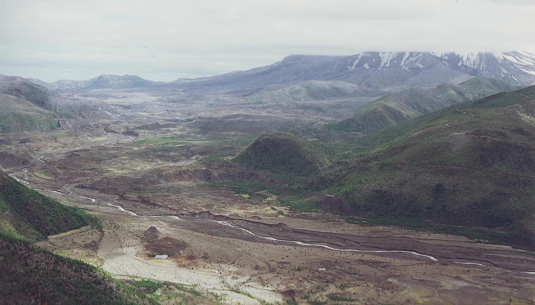
Mount St Helens1 by danapommet
Close
Hover over top left image to zoom.
Click anywhere to exit.
Members remain the original copyright holder in all their materials here at Renderosity. Use of any of their material inconsistent with the terms and conditions set forth is prohibited and is considered an infringement of the copyrights of the respective holders unless specially stated otherwise.
No AI - This artwork was created entirely by hand or with traditional digital tools.
Description
This is what is left of the top of Mount St Helens. Mount St Helens National Volcanic Monument: On March 20, 1980, Mount St Helens experienced a magnitude 4.2 earthquake, and on March 27, steam venting started. By the end of April, the north side of the mountain had started to bulge. At 8:32 Sunday morning, May 18, 1980, Mount St Helens erupted. Shaken by an earthquake measuring 5.1 on the Richter scale, the north face of this tall symmetrical mountain collapsed in a massive rock debris avalanche. Nearly 230 square miles of forest was blown down or buried beneath volcanic deposits. At the same time a mushroom shaped column of ash rose thousands of feet skyward and drifted downwind, turning day into night as dark, gray ash fell over eastern Washington State and beyond. The eruption lasted 9 hours, but Mount St Helens and the surrounding landscape were dramatically changed within moments. In 1982, Congress created the 110,000 acre National Volcanic Monument for research, recreation, and education. Inside the Monument, the environment is left to respond naturally to the disturbance.
Mount St Helens is still an active strato-volcano located in Skamania County, Washington, in the Pacific Northwest region of the US. It is 96 miles (154 km) south of Seattle and 50 miles (80 km) northeast of Portland, Oregon. Mount St. Helens takes its English name from the British diplomat Lord St Helens. The volcano is located in the Cascade Range and is part of the Cascade Volcanic Arc, a segment of the Pacific Ring of Fire that includes over 160 active volcanoes. This volcano is well known for its ash explosions and pyroclastic flows.
Mount St Helens is most famous for its catastrophic eruption which was the deadliest and most economically destructive volcanic event in the history of the US. Fifty-seven people were killed; 250 homes, 47 bridges, 15 miles (24 km) of railways, and 185 miles (298 km) of highway were destroyed. The eruption caused a massive debris avalanche, reducing the elevation of the mountain's summit from 9,677 ft (2,950 m) to 8,365 ft (2,550 m) and replacing it with a 1 mile (1.6 km) wide horseshoe-shaped crater. The debris avalanche was up to 0.7 cubic miles (2.9 km3) in volume. The Mount St Helens National Volcanic Monument was created to preserve the volcano and allow for its aftermath to be scientifically studied. The majority of information is from Wikipedia.
Taken over 20 years ago, with a film camera and scanned yesterday.
Thanks for stopping by, taking a look and for all your previous comments.
They are very much appreciated.
Dana

Comments (16)
Excellent shot! I was in the Puget Sound at the time, on the Uss Enterprise, when she blew.
Very beautiful wiev ! Interesting info !
Nice catch
I remember when this happened. Excellent capture. :)
Wow, what a capture, amazing!!!!
I remember this also, since I had just moved from Portland, Oregon to Norfolk, Virginia! Scary stuff, and isn't nature amazing? Great capture!
great shot
I followed the eruption with total fascination. This is an incredible shot. I have always wanted to visit this place and I wish I could have been closer than Sacramento when it blew. I'm really very interested in volcanoes.
Wonderful series
Volcanos are so powerful and fascinating!
tres interessant!!
magnifique landscape!
Great capture!
FANTASTIC!
Holy mackerel, Krakatoa in miniature. Fine foto of the desolate area, Dana, taken ten years after the event. Mount St Helens now resembles a New Mexico mesa in shape.
what power nature have... wonderful shots all of them