


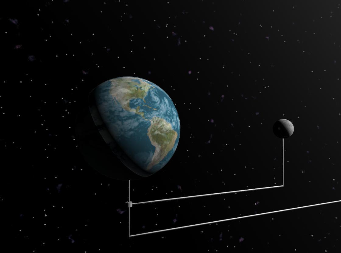
What the Satellite Saw by sovereign12
Close
Hover over top left image to zoom.
Click anywhere to exit.
Members remain the original copyright holder in all their materials here at Renderosity. Use of any of their material inconsistent with the terms and conditions set forth is prohibited and is considered an infringement of the copyrights of the respective holders unless specially stated otherwise.
No AI - This artwork was created entirely by hand or with traditional digital tools.
Description
Was working on a Mars height map for another project and started to play around with other planetary maps. Had to go into my daughter's room and looked at the mobile above her crib, which gave me this idea.
Comments (5)
LOL!!! I knew it! That is hillarious!!! I downloaded and played around with a few of those planet maps on Bryce a few years ago, but yours is nicer. Good job!!
It also neatly explains that pesky ozone hole over Antarctica.
lol nice one!!!
err..............?
so the orrery begins..;) great pic.