


















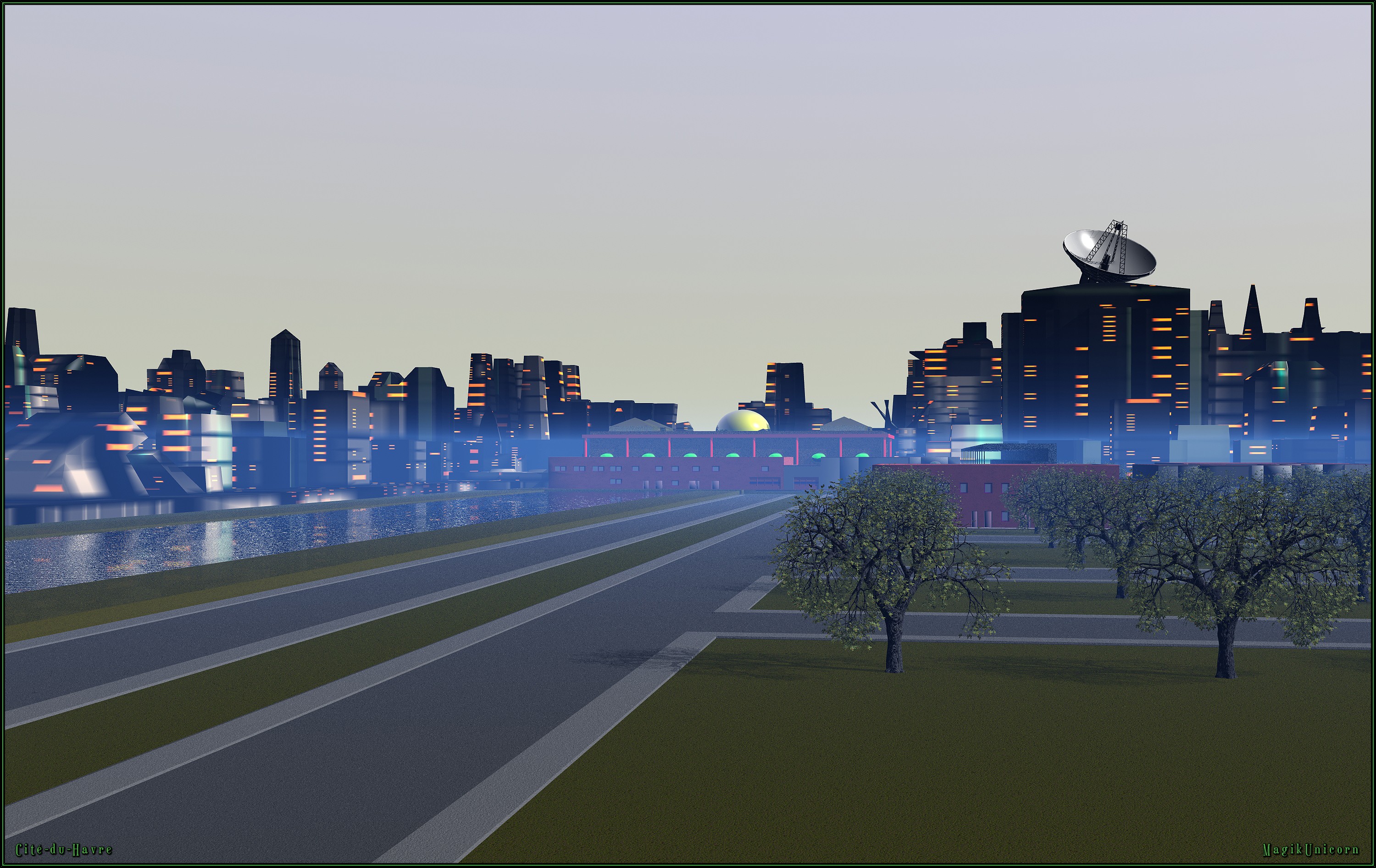
Cité-du-Havre by MagikUnicorn
Close
Hover over top left image to zoom.
Click anywhere to exit.
Members remain the original copyright holder in all their materials here at Renderosity. Use of any of their material inconsistent with the terms and conditions set forth is prohibited and is considered an infringement of the copyrights of the respective holders unless specially stated otherwise.
No AI - This artwork was created entirely by hand or with traditional digital tools.
Description
Cité-du-Havre, Montréal, Québec, Canada
Historique
Vers la fin du XIXe siècle, en vue de remédier au problème récurrent des importantes accumulations printanières de glace (embâcles) dans le port de Montréal et aux inondations de la basse-ville, dues aux débâcles du fleuve Saint-Laurent, on décide de créer une digue de protection. Une jetée longue de 1,6 km est ainsi construite de 1891 à 1898 à partir de la pointe du Moulin, et nommée quai de Garde. Cette dénomination est ultérieurement changée pour jetée Mackay[. En plus de prévenir les débordements des débâcles dans le Vieux-Port et les inondations du Vieux-Montréal, la jetée s'avère utile aux activités de transbordement jusque dans les années 1960.
En 1965, on choisit la jetée Mackay et les îles Sainte-Hélène et Notre-Dame comme site de l'Exposition universelle de 1967. La jetée, pour l'occasion renommée Cité-du-Havre, est alors élargie et rallongée vers le nord-est pour permettre de la relier aux îles par la construction du pont de la Concorde.
La Cité-du-Havre est la porte d'entrée principale de l'Expo 67. Un vaste stationnement est prévu à proximité, à l'ouest de l'emprise du pont Victoria, et un stade de vingt-cinq mille places (l'Autostade) érigé près de l'autoroute Bonaventure. Une Place d'Accueil est aménagée et reliée au reste du site de l'exposition par un train léger sur rail, l'Expo-Express. On érige à la Cité-du-Havre le Centre administratif de la Compagnie canadienne de l'Exposition Universelle de 1967, et le Centre de presse; de même que le Centre International de Radiotélévision, mis à la disposition des radiodiffuseurs des pays participants.
_______________________________________________________________________________________
Cité-du-Havre, Montreal, Quebec, Canada
History
Towards the end of the 19th century, to address the recurring problem of significant spring ice accumulations (ice jams) in the Port of Montreal and the flooding of Lower Town due to the breakup of the St. Lawrence River, it was decided to build a protective dike. A 1.6 km long jetty was built from 1891 to 1898, starting at Pointe du Moulin, and named Quai de Garde. This name was later changed to Mackay Jetty. In addition to preventing overflows from ice breakups in the Old Port and flooding in Old Montreal, the jetty proved useful for transshipment activities until the 1960s.
In 1965, Mackay Jetty and Sainte-Hélène and Notre-Dame Islands were chosen as the site of the 1967 World's Fair. The jetty, renamed Cité-du-Havre for the occasion, was then widened and extended northeastward to connect it to the islands via the construction of the Concorde Bridge.
Cité-du-Havre was the main gateway to Expo 67. A large parking lot was planned nearby, west of the Victoria Bridge right-of-way, and a 25,000-seat stadium (the Autostade) was built near the Bonaventure Expressway. A Reception Square was built and connected to the rest of the exhibition site by a light rail train, the Expo-Express. The Administrative Centre of the Canadian Company of the 1967 World's Fair and the Press Centre were built in the Cité-du-Havre; as was the International Radio and Television Centre, made available to broadcasters from the participating countries.

Comments (7)
I remember Cité-du-Havre from many visits to Expo 67- especially riding the Expo Express. Great memories!
Nice work!
Interesting.
Very well done, thank you for the historic comment.
Nice render and fascinating information. :-)
Très belle vue accompagnée d’informations fort intéressantes… super réalisation !!
Nice work.