
















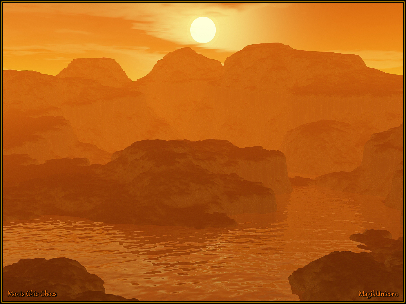
Monts Chic-Chocs by MagikUnicorn
Close
Hover over top left image to zoom.
Click anywhere to exit.
Members remain the original copyright holder in all their materials here at Renderosity. Use of any of their material inconsistent with the terms and conditions set forth is prohibited and is considered an infringement of the copyrights of the respective holders unless specially stated otherwise.
No AI - This artwork was created entirely by hand or with traditional digital tools.
Description
Monts Chic-Chocs
Les Chic-Chocs sont situés au nord de la Gaspésie et suivent le fleuve Saint-Laurent de manière parallèle à une distance allant de 20 à 40 km à l'intérieur des terres. Il s'agit d'une bande étroite d'une longueur de 95 km par une largeur de 10 km.
Ce sont des monts très érodés avec des sommets plats et des flancs escarpés. Plus de 25 sommets dépassent les 1 000 mètres, le plus haut étant le mont Jacques-Cartier à 1 270 mètres.
On trouve des Caribous des bois sur les plateaux de la région.
_____________________________________________________
Mounts Chic-Chocs
The Chic-Chocs run parallel to the St. Lawrence River and are located some 20 to 40 kilometers inland. They are a narrow band of mountains approximately 95 kilometres (59 mi) long and 10 kilometres (6.2 mi) wide. The Chic-Chocs are heavily eroded, with rounded, flattened tops and steep sides. Over 32 mountains in the range have peaks higher than 1,000 metres (3,300 ft); the highest is Mount Jacques-Cartier at 1,268 metres (4,160 ft). Caribou can be found in the plateaus of this region.
Although visited by just a few tourists, Chic-Choc Mountains became much more popular in the late 1990s as backcountry skiing gained popularity in Eastern Canada.
Some of the most popular backcountry skiing areas in the region include Mont Hogs Back, Mont Albert, Champ Mars, Mont Logan, and Mines Madeleine. The original guidebook for skiing in the Chic-Chocs was released in French by Avalanche Québec. In 2017, Ari Schneider wrote and published the first English guidebook for skiing in the Gaspésie. Schneider's book was a much shorter introduction to skiing in the region than the original French guide, so Avalanche Québec released a full English version of their guidebook the following year.

Comments (14)
Very interesting.
Nice quasi silhouetting in an amber atmosphere.
jolie image pour illustrer le commentaire sur Chic-Chocs
Very well done.
C'est superbe belle image avec un coucher de soleil se reflétant sur l'eau. Du coup grâce à tes explications je suis allée sur internet pour voir, merci de me faire voyager
Very nice scenery creations. The monotone color adds to it. Interesting information.
Wonderful colors and a delightful image!!!
Superbe paysage!
Shining.
wonderful sun set and hills
Excellent
Very well done.
Nicely done scene, and great information.
Very beautiful!