
danamo opened this issue on May 19, 2006 · 8 posts
danamo posted Fri, 19 May 2006 at 5:39 PM
Forgive me if I ask a foolish question, but can Carrara5 do an altitude mask-type render? I have been looking 'round in both the manual and by using the search engine here(tutorials also), but I haven't found the answer. I used this feature a lot in Bryce, and I've got some new ideas(to me, at least) on how I could utilyze this using Carrara's abilities. I know that Carrara can import heightmaps into the terrain modeler. Thank's, DV
danamo posted Fri, 19 May 2006 at 8:51 PM

cjd posted Fri, 19 May 2006 at 9:31 PM
Hi danamo,
Yes, it is a rendering option.
Check the "fragment distance" box, and you will get a heightmap in an additional channel when you render. You also need to use .PSD or .TIFF as the file format to support the extra channel.
Chris

bwtr posted Sat, 20 May 2006 at 12:28 AM
bwtr
bwtr posted Sat, 20 May 2006 at 12:46 AM
bwtr
danamo posted Sat, 20 May 2006 at 2:11 AM
Thanks for the info cjd. I'm definitely going to try that.
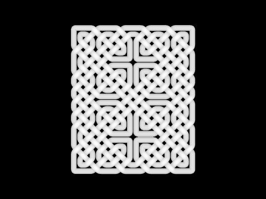
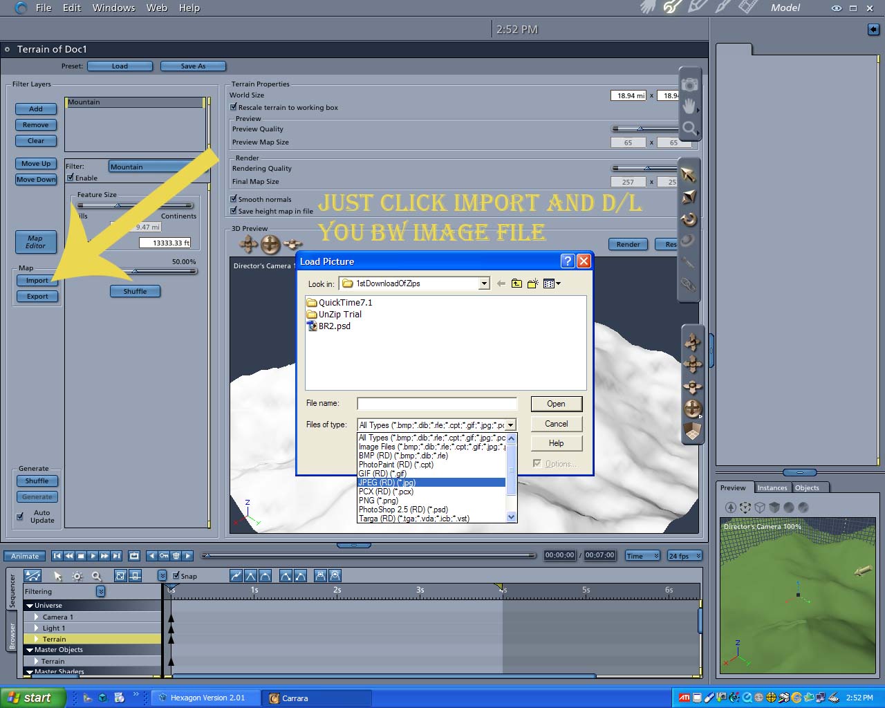
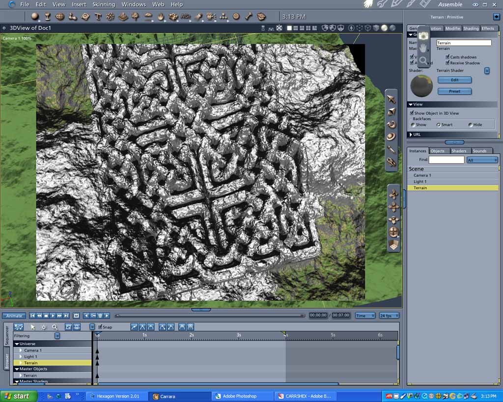
@bwtr- Yes, I like what you did with the 'knot" altitude map. Thanks for the screenshots!

ren_mem posted Sat, 20 May 2006 at 2:14 AM
Look. Proof the aliens are celtic! 
No need to think outside the box....
Just make it
invisible.
danamo posted Sat, 20 May 2006 at 2:37 AM
LOL!