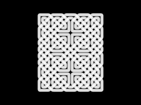
Here is an altitude mask render I did in Bryce5 of a celtic knot .obj that I designed in KnotPlot. I imported the "knot" and rotated it on the Y so it was parallel to the ground plane and did a top-view altitude mask render. I was thinking it might be possible to use something like this for a displacement map detail, or for a terrain.
